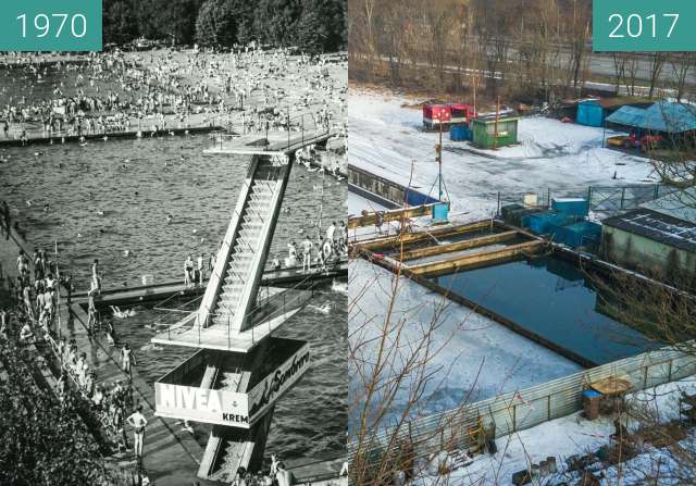
Porównanie radzieckiej mapy wojskowej z 1980 do rzutu zdjęcia satelitarnego z Google Earth wykonanego 12.05.2017. Obszar obejmuje część terenów Sołacza, Golęcina i Winiar.
Comparison of the Soviet military map from 1980 to the satellite image projection from Google Earth taken on May 12, 2017. The area covers some of the areas of Sołacz, Golęcin and Winiary.
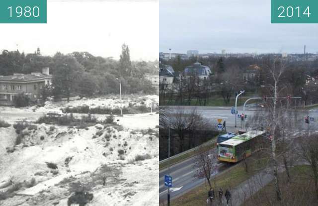
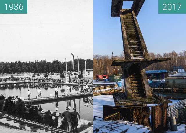