Porównanie mapy Wojskowego Instytutu Geograficznego wydanego w 1935 oraz hipsometrycznej rzeźby terenu w obszarze pradoliny Warty na południe od Poznania.
Comparison of the map of the Military Geographical Institute published in 1935 and the hypsometric relief of the land in the area of the Warta ice-marginal valley south of Poznań.

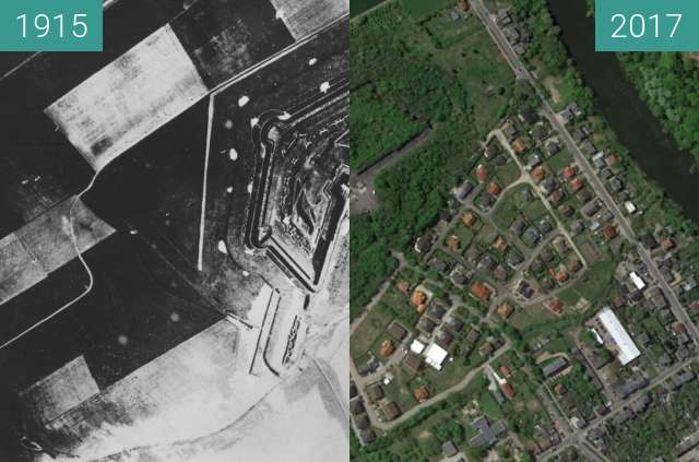
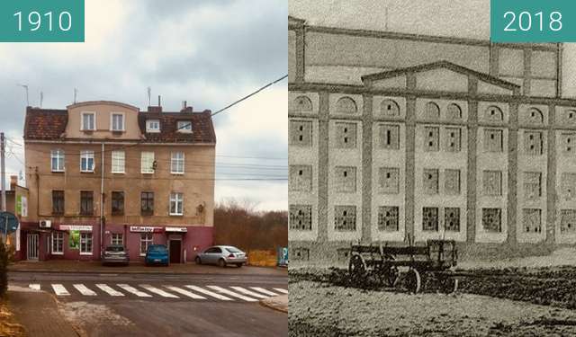
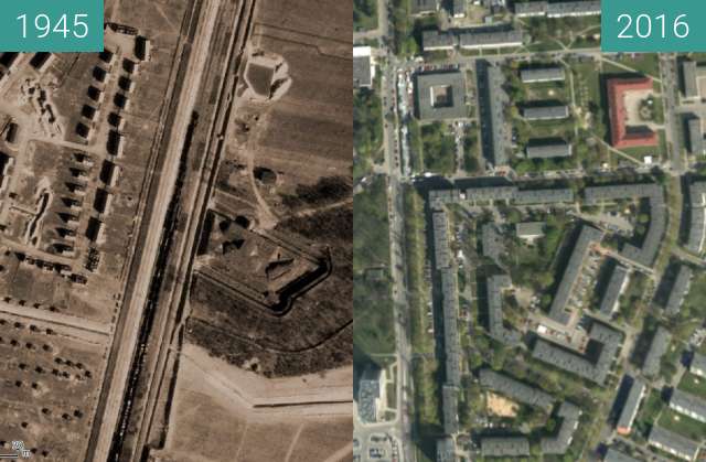
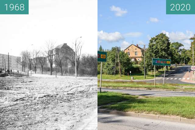
Porównanie mapy Wojskowego Instytutu Geograficznego wydanego w 1935 oraz hipsometrycznej rzeźby terenu w obszarze pradoliny Warty na południe od Poznania.
Mapa 1935 ze zbiorów Jagiellońskiej Biblioteki Cyfrowej, wydawca Wojskowy Instytut Geograficzny.
Mapa hipsometryczna © Główny Urząd Geodezji i Kartografii
Comparison of the map of the Military Geographical Institute published in 1935 and the hypsometric relief of the land in the area of the Warta ice-marginal valley south of Poznań.
Map 1935 from the collection of the Jagiellonian Digital Library, published by the Military Geographical Institute.
Hipsometric map © Central Office of Geodesy and Cartography