The re.photos app is here!
Realized with the generous support of the Sievert Stiftung
Stramme Leistung, aus der Luft den alten Blickwinkel zu treffen !
Stramme performance, from the air to meet the old point of view!
Danke für das Kompliment ! Mit einer Drohne ist es, bei einer vernünftigen Planung und gründlichem "Studium" des Original, nicht schwierig die richtige Position zu finden.
Viel schwieriger dagegen ist es brauchbare historische Luftaufnahmen aus der Region zu bekommen.
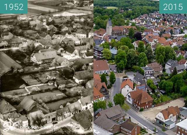
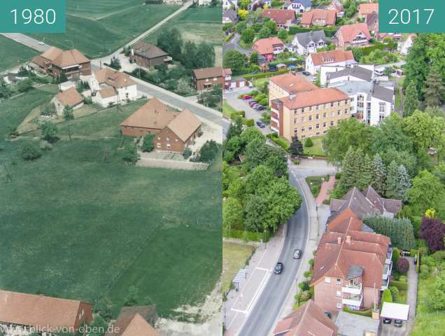
Auch von der technischen Seite gibt es ein Problem. Die Drohnen sind in der Regel mit einer fest verbauten Weitwinkelkamera (Fischauge) ausgestattet. Die Aufnahmen früher wurden doch meistens mit Festbrennweiten um die 50mm aufgenommen. Nun muss man digital nachbessern und in den nachgestellten Bilder Ziehen und Schieben. Das sieht man besonders gut auf dem 2. Bilderpaar von Bad Laer (stelle ich heute noch ein).
Dieses Problem habe ich aber nun im Griff. Ich habe mir vor einem halben Jahr eine Profidrohne gekauft, die über eine Kamera verfügt, an der ich verschieden Objektive nutzen kann - so auch eines mit 25mm (entspricht 50mm KB). Jetzt kann ich die nachgestellten Bilder fast 1:1 übernehmen ohne optische Verluste hinzunehmen.
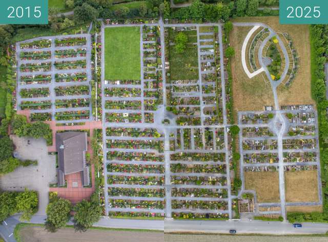
Die eingestellten Bilder von 2015 werde ich im Frühjahr noch einmal abfliegen und neu hochladen.
Des weiteren habe ich noch Aufnahmen von Oesede (um 1930), Hilter, Belm aus der Luft, die auf eine Umsetzung warten.
In meiner Heimatstadt Dresden war ich am Boden 2011/12 in gleicher Mission unterwegs. Auch diese Bilder lade ich demnächst hier hoch.
Danke für die Schaffung dieser sehr schönen Plattform !!!
Thank you for the compliment ! With a drone, it is not difficult to find the right position with a reasonable planning and thorough "study" of the original.
On the other hand, it is much more difficult to get useful historical aerial photographs from the region.
Also from the technical side there is a problem. The drones are usually equipped with a permanently installed wide-angle camera (fish eye). The shots used to be taken mostly with fixed focal lengths around 50mm. Now you have to improve digitally and drag in the following images and push. You can see that especially well on the second pair of pictures of Bad Laer (I still have one today).
But I have this problem now under control. Half a year ago I bought a professional drone which has a camera on which I can use different lenses - such as one with 25mm (equivalent to 50mm KB). Now I can take over the imitated pictures almost 1: 1 without accepting optical losses.
I will leave the set pictures of 2015 again in the spring and re-upload.
Furthermore, I still have footage of Oesede (around 1930), Hilter, Belm from the air, waiting for an implementation.
In my hometown Dresden I was on the ground 2011/12 in the same mission on the way. I will upload these pictures soon.
Thank you for creating this very nice platform !!!
Dann können wir uns ja auf weitere Luftbilder freuen. Vielleicht wäre dafür eine eigene Kategorie sinnvoll.
Then we can look forward to more aerial photos. Maybe it would make sense for a separate category.
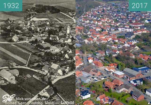
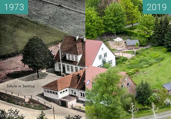
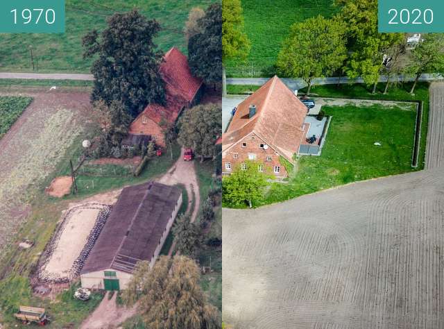
Bad Laer aus der Luft betrachtet
Bad Laer viewed from the air