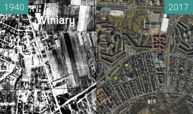
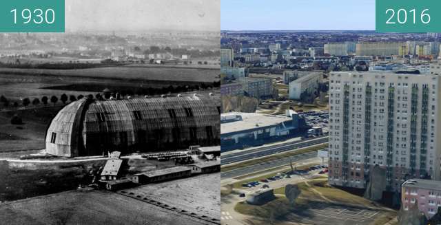
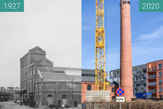
Porównanie radzieckiej mapy z 1980 do zdjęcia satelitarnego z Google Earth wykonanego 12.05.2017. Naramowice i okolice, fragment Piątkowa i Winograd. Linia kolejowa nr 395, estakada.
Comparison of the Soviet map from 1980 to the satellite image from Google Earth taken on May 12, 2017. Naramowice and its surroundings, a fragment of Piątków and Winograd. Railway line No. 395, flyover.
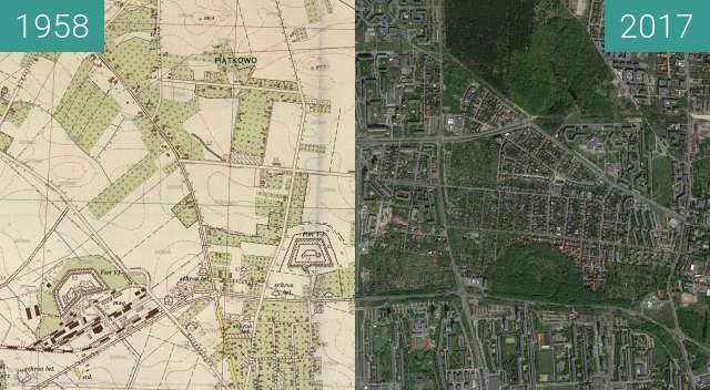
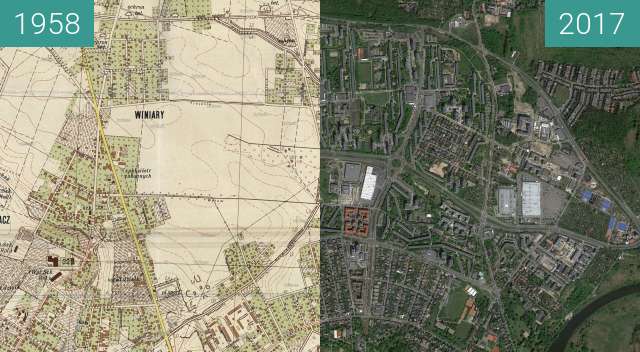